Where the shade falls, hour by hour.
Pick the site and date. The sun is calculated for that exact place and time, so every shadow is physically right. One click makes an hourly shadow sheet; real neighbours can come in from the map.
Part of 3D StudioOpening to early-access studios first
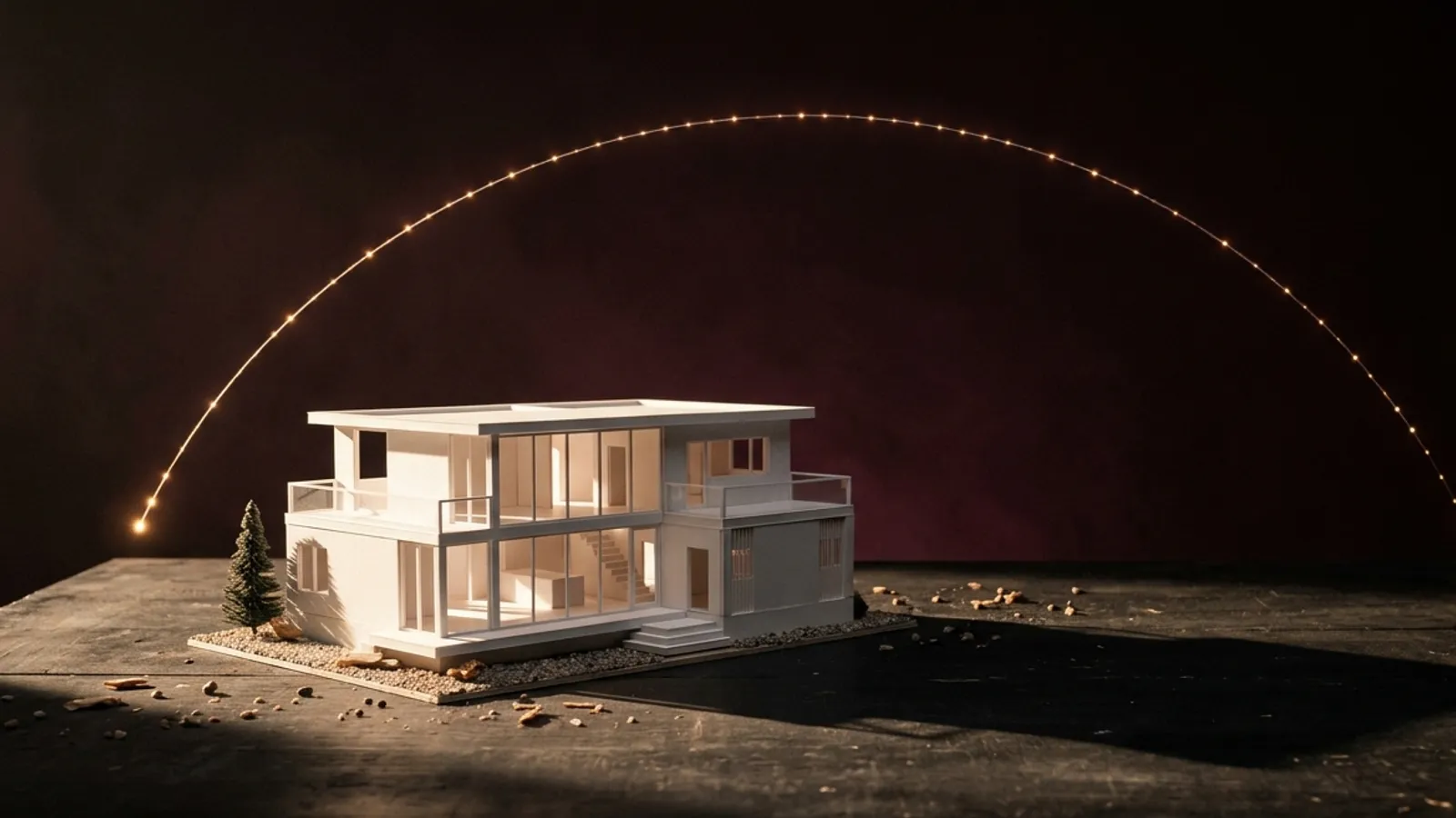
How to use it · 3 steps
Step by step.
- 1
Set the site
Site & sun tab → pick a city or type the plot's latitude and longitude; set true north.
- 2
Add neighbours (optional)
Site context → Show neighbours and roads.
- 3
Make the sheet
Studies tab → Make hourly shadow sheet.
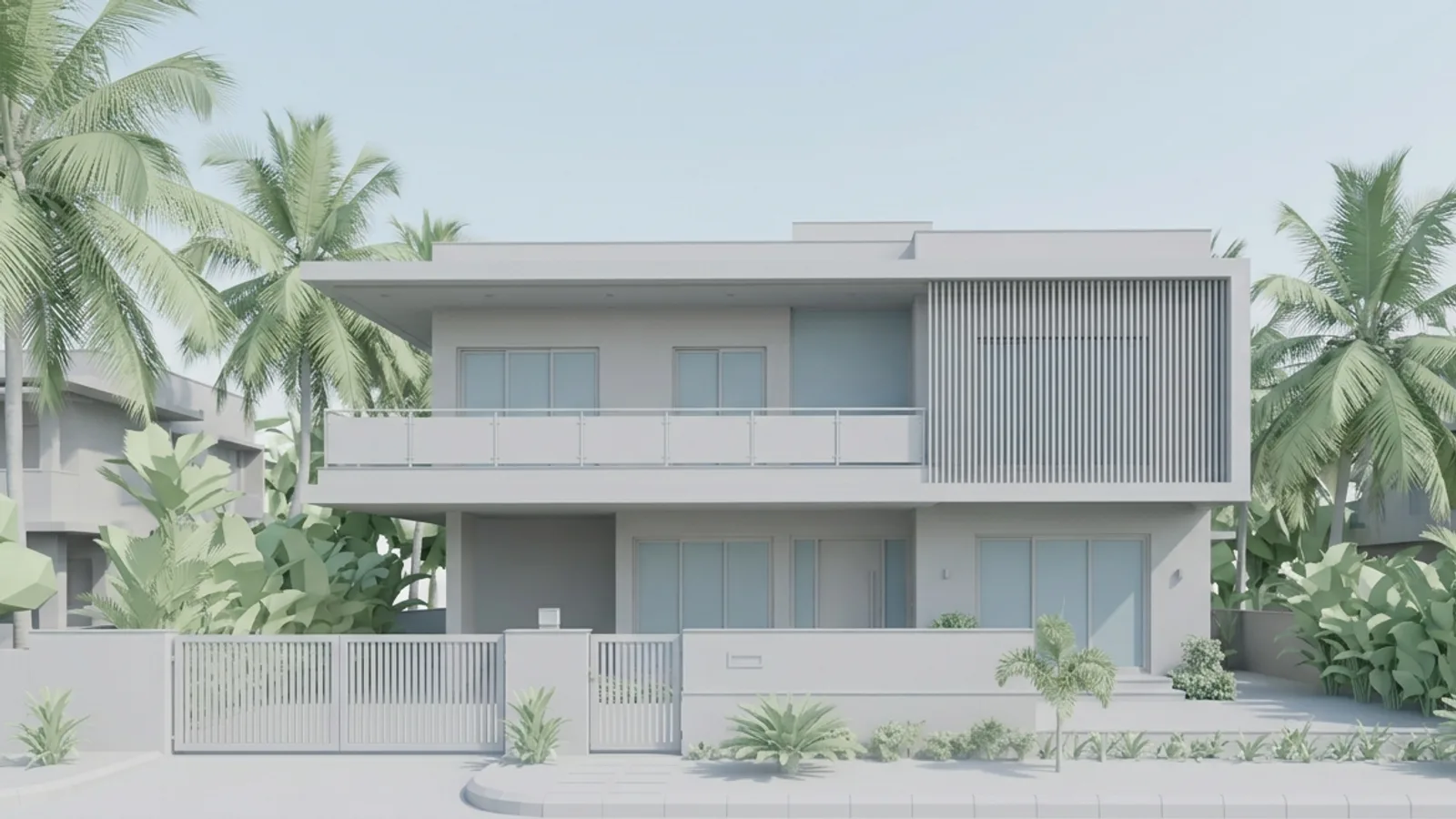 You bringYour model
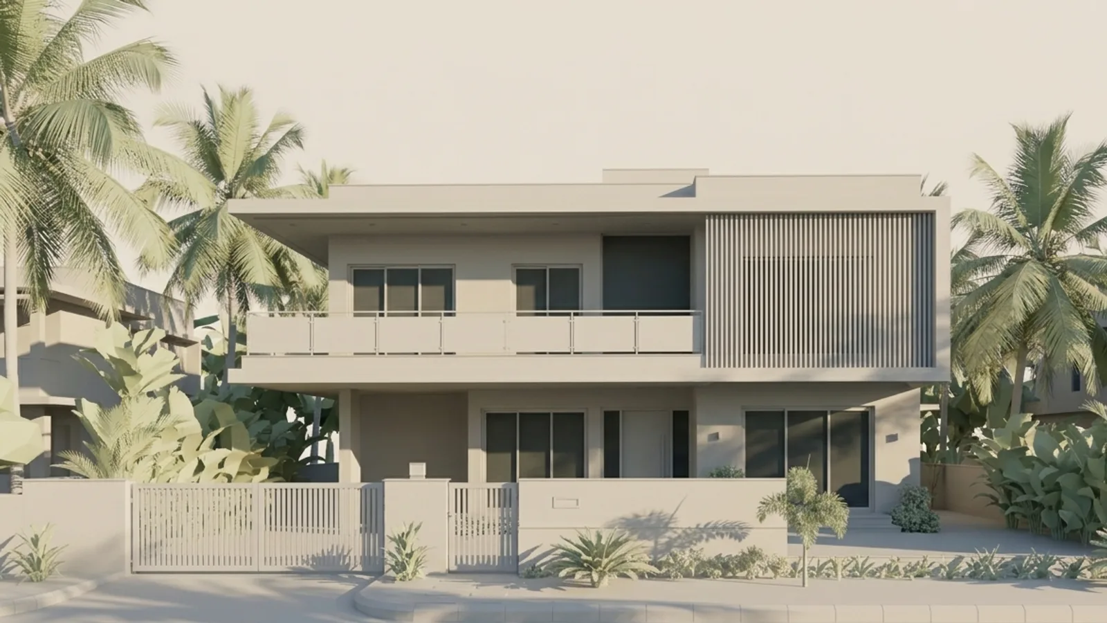 You get5 pm shadows
What you get
Sun & shadow study, in short.
Questions
Good to know.
How accurate is the sun?
It's calculated for your coordinates, date and hour — shadow direction and length are physically correct for your model.
Where do neighbours come from?
OpenStreetMap. Estimated heights are labelled.
Is it available now?
Part of 3D Studio, opening to early-access studios first.
Works well with
Next steps.
 Early access
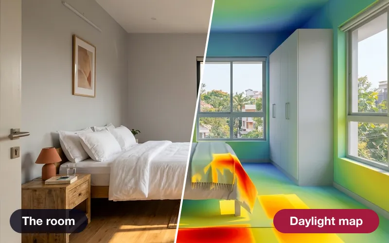
Daylight & glare check
Hours of direct sun on every window on 21 March, June and December — and where low sun will glare.
How it works →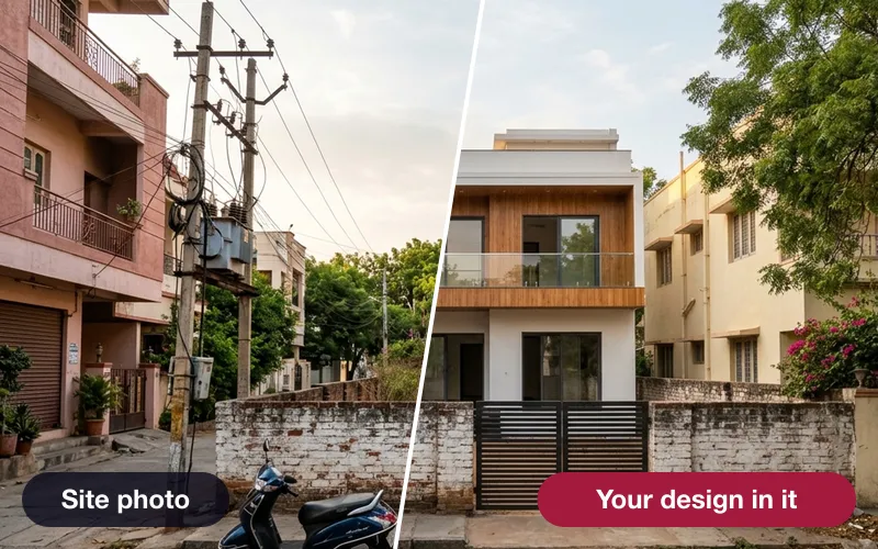 Early access
Verified photomontage
Place your design into a real site photo — the camera solved from matched points, with the error shown in pixels.
How it works →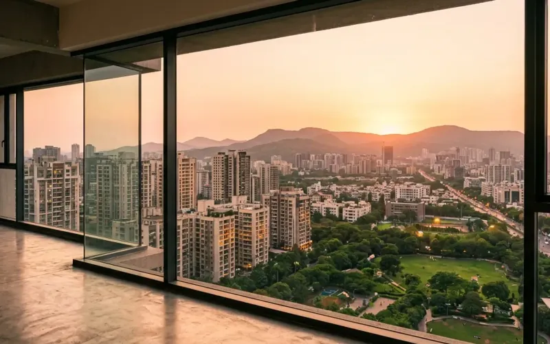 Early access
Unit view finder
The real view out of any window at any floor — for apartment sales and approvals.
How it works →3D Studio · early access
Be one of the first studios in.
Tell us about your practice and we'll open the 3D Studio for you first.